Google has developed a fascinating way to explore the changing landscape‚ bringing decades of historical and current global satellite images together into a powerful tool called Google Earth Engine.
The tool is being used by scientists to measure and detect deforestation around the globe‚ monitor wild tiger habitats‚ predict malaria outbreaks and map global surface water changes – to name just a few uses.
It allows users to zoom around the planet and witness urban development over 30 years in just a few seconds of time lapse video footage‚ see the effects of climate change as glaciers melt and explore the impact of large natural disasters.
While the tool allows you to explore far and wide‚ if you want to explore.
Here's the timelapse map of Johannesburg (click the play button to see the timelapse):
Here's the timelapse map of Durban:
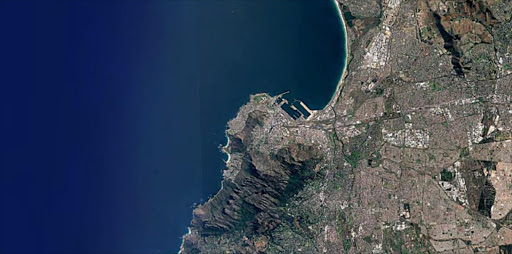
Here's the timelapse of Cape Town:
Click here to explore your town or city.