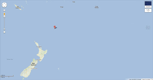
A 6.1 magnitude earthquake struck off New Zealand's Kermadec Islands early Tuesday, the US Geological Survey reported.
The quake hit at 12:19 am (1219 GMT Monday) at a depth of 34 km (21 miles), about 161 km south of Raoul Island in the Kermadecs.
The largely uninhabited islands are northeast of New Zealand's North Island.
A magnitude 6.0 quake struck off North Island Saturday.
A shallow 6.3-magnitude quake devastated the New Zealand city of Christchurch in the South Island in February last year, leaving 185 people dead.
The country sits on the so-called "Ring of Fire", the boundary of the Australian and Pacific tectonic plates, and experiences up to 15,000 tremors a year.