Rain and strong winds warning for motorists heading home after Easter weekend
Heavy rains are expected to make driving conditions difficult in parts of the country as motorists head home after the Easter holidays on Monday.
The South African Weather Service issued warnings for heavy rainfalls, leading to localised flooding, along the coast between East London and Durban.
Western Cape - N1 Route: #TruckCrash (Strong Winds) Truck overturned before Huguenot tunnel - EXPECT DELAYS @BOSBEER2006 pic.twitter.com/KUupHxMLAq
— Rob Beezy (@TrafficSA) April 22, 2019
Heavy rains were also expected in places over the Free State, and parts of the Northern Cape, KwaZulu-Natal and eastern half of the Eastern Cape. The rain is expected to move to the Central Karoo and Garden Route on Tuesday.
11h06 #TrafficCount:
— N3 Toll Concession (@N3Route) April 22, 2019
10h00-11h00:
MooiPlaza: N-1750, S-860
TugelaPlaza: N-1320, S-290
WilgePlaza: N-950, S-600
DeHoekPlaza: N-870, S-640
An advisory was also issued for strong winds of between 45-55km/h over the central and southern interior of the Northern Cape.
Howling winds caused a truck to overturn on Monday just outside the Huguenot Tunnel in the Western Cape.
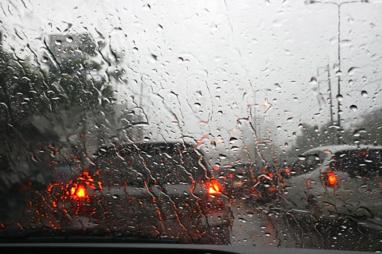
Rain was forecast for Johannesburg with a maximum temperature of 20°C. Bloemfontein can expect thunderstorms with a high of just 15°C with rain in store for Durban at 20°C.
Cape Town will be sunny with a high of 24°C.
⚠ WATCH ⚠ 22/04/2019 12h00 TO 22/04/2019 23h00 Severe Thunderstorms with possible heavy downpours and abundance of small hail expected over the Dr Ruth Segomotsi Mompati district municipality (NW) today.
— SA Weather Service (@SAWeatherServic) April 22, 2019