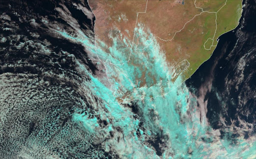
Its warm and sunny across much of South Africa but the Weather Service says the western parts of Western and Northern Cape provinces have been hit by a cold front resulting in cold; wet and windy conditions.
It says another cold front is expected to reach Cape Town on Wednesday spreading to the rest of the country by Friday.
The Weather Service says the public is alerted to the following severe weather conditions:
Gale force north-westerly to westerly winds are expected along the coast between Cape Columbine and Cape Agulhas as well as the Cape Winelands and Karoo on Wednesday. Strong to gale force westerly winds are expected to spread along the south coast to reach Port Elizabeth on Thursday morning.
Very rough seas (4-6m) were expected to develop between Table Bay and Cape Agulhas by Tuesday night, spreading to Cape Columbine and Plettenberg Bay on Wednesday. Ships (especially smaller ones) are advised (if possible) to modify their sailing schedule and to make every effort to avoid traversing the region mentioned above.
Heavy rains are expected overnight (Wednesday) over the Cape Metropole, Cape Winelands and Overberg districts of the Western Cape. The public is thus alerted to the danger of flooding in places. An intensification of the upper trough is expected from Thursday and this will lead to the risk of heavy rains in places over KwaZulu-Natal as well as southern and western parts of Mpumalanga on Friday and Saturday. Scattered to widespread thundershowers are also expected in Gauteng between Thursday night and Saturday.
Cold to very cold conditions will set in over the high ground areas of the Western and Northern Cape provinces on Wednesday, spreading to the Eastern Cape, southern Free State and southern KwaZulu-Natal on Thursday. It will become cold over the rest of Free State, KwaZulu-Natal, North West and Gauteng on Friday and Saturday. Snowfall is expected from Thursday over the southern parts of the Drakensburg Mountains.